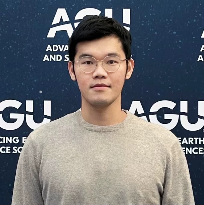
Yin Liu

Hello! I am a Ph.D. candidate in the Department of Geography & Geographic Information Science at the University of Illinois Urbana-Champaign (UIUC), where I work with Dr. Chunyuan Diao at the Remote Sensing Space-Time Innovation Lab.
My research lies at the intersection of remote sensing, agriculture, machine learning, and environmental sustainability. Specifically, I focus on using remote sensing techniques to monitor and understand ecosystem dynamics under climate change. My work integrates multi-scale remote sensing platforms (satellites, near-surface platforms, drones) with field data collection to enhance our understanding of agricultural, forest, and coastal ecosystems.
Currently, I am involved in projects ranging from crop type mapping and phenology characterization to the remote monitoring of agricultural practices and modeling the impacts of climate change on various ecosystems.
Prior to joining UIUC, I worked with Dr. Meha Jain and earned dual Master of Science degrees in Data Science and Natural Resources and Environment from the University of Michigan. I earned Bachelor of Engineering in Remote Sensing Science and Technology from China University of Geosciences (Wuhan).
news
| Sep 11, 2025 | My new paper “A novel Normalized Harvest Phenology Index (NHPI) for corn and soybean harvesting date detection using Landsat and Sentinel-2 imagery on Google Earth Engine” is now online at Remote Sensing of Environment! |
|---|---|
| Aug 02, 2025 | I’m honored to announce that I have been awarded the 2025 CaGIS Student Scholarship by the Cartography and Geographic Information Society (CaGIS). |
| Jul 05, 2025 | I’m deeply honored to receive the National Scholarship for Outstanding Self-Financed Students Abroad from the China Scholarship Council in 2025. |
| May 16, 2025 | I’m honored to share that I’ve been selected as a Planet Fellow by the Taylor Geospatial Institute for the 2025–2026 fellowship year! |
| Mar 30, 2025 | I won the second place in the Student Honors Paper Competition in the AAG Annual Meeting (2025), organized by the Remote Sensing Specialty Group (RSSG). My paper presentation is “A novel Harvest Phenology Index (HPI) for corn and soybean harvesting date mapping using Landsat and Sentinel-2 imagery on Google Earth Engine”. |